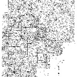
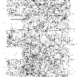
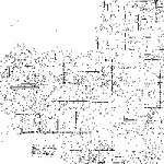
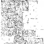
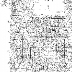
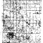
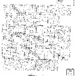
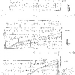
The original Urban Engineering Tract Maps of Terlingua Ranch.
These maps should be used as guides only: Consult a licensed surveyor for the actual boundaries and GPS coordinates of your property.
Click on a thumbnail below to download a full resolution map to your hard drive which you can open using a standalone PDF viewer. Your web browser may attempt to open the map in its built-in PDF viewer, but if it is unsuccessful you should still be able to open the map from your hard drive using a standalone PDF viewer.
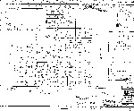
12 – Sec 215 Blk G-4
Map no longer available

